SPH Engineering Unveils UgCS 5.11: A New Era in Drone Mission Planning
The drone industry is constantly evolving, and with the latest release, UgCS 5.11 from SPH Engineering, professionals now have access to a transformational upgrade in mission planning. This update is designed to ease workflow challenges for everyone from seasoned surveyors to businesses exploring UAV benefits.
What’s New in UgCS 5.11
- Cloud Sync: Flight plans are easily synchronized between desktop computers and DJI Pilot 2 controllers, simplifying team operations.
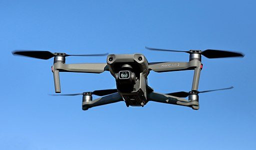
- Support for Lightweight Drones: Integration with Litchi allows complex missions with smaller DJI drones, making advanced capabilities accessible to a broader audience.
- Multi-Layer Mapping Overlays: Improved planning tools for complex operations.
- Advanced Camera and Sensor Support: Enhanced support for various drones’ cameras and sensors.
- Intuitive Interface: Upgraded user experience for efficient mission management.
Cloud Sync: Streamlined Mission Management
The cloud-based sync introduced in UgCS 5.11 addresses common challenges in mission management, such as transferring plans between devices and ensuring real-time updates, without relying on physical data transfer.
Small Drone Compatibility
With the incorporation of Litchi, UgCS 5.11 now supports smaller and more affordable DJI models. This enables professional-grade mission planning with cost-effective drones, making sophisticated operations possible for a wider group of users.
Enhanced Mapping Capabilities
UgCS 5.11 enhances situational awareness through multi-layer mapping, integrating different data sets such as infrastructure, hazards, and custom maps, which helps in executing safer missions and making informed decisions on the fly.
Improved Photogrammetry and Sensor Workflows
This version continues to refine support for mapping and sensor workflows by introducing better tools for LiDAR, camera selection, and trajectory optimization, resulting in higher data accuracy and operational efficiency.
User Interface Enhancements
User experience has been a major focus, with straightforward route export tools and prioritized default settings, reducing the complexity of mission setup and allowing users to focus more on flying.
A Global Brand with a Personal Touch
Behind UgCS 5.11 is a dedicated team that listens to user feedback and adapts accordingly, offering integrations with major drone brands, photogrammetry vendors and GIS platforms worldwide, and providing extensive support in multiple languages.
Why Choose UgCS 5.11?
It is the ideal choice for those seeking flexible and advanced flight planning, especially in remote areas, while supporting a wide range of drones and sensors. The software adapts to new technologies, making it a strong, future-proof investment.
Getting Started
For those interested in trying UgCS 5.11, a free demo is available, along with comprehensive documentation and an active global user community sharing valuable insights.
The Future of UgCS
The team at SPH Engineering is working towards AI-driven mission optimizations and real-time collaboration tools, making future-generation drone operations more efficient and accessible.
Conclusion
UgCS 5.11 stands as a powerful tool for modern drone operations, enabling efficient mission planning and execution with a streamlined interface and expanded hardware compatibility. Whether for business or personal exploration, it enhances drone operations significantly.
Download UgCS 5.11 today to transform your drone mission planning experience.