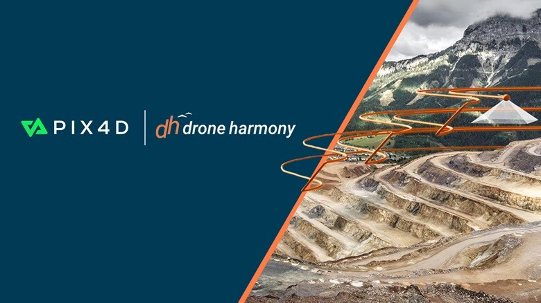
Introduction to Drone Harmony and Pix4D Partnership
In recent years, the role of drone technology has grown tremendously in sectors like construction, surveying, agriculture, and public safety. Leading firms in this industry, Drone Harmony and Pix4D, have recently formed a strategic alliance to advance drone mapping processes. This partnership seeks to optimize workflows and enhance the precision and efficiency of data capture via drones.
Who Are Drone Harmony and Pix4D?
– Drone Harmony provides comprehensive drone mission planning software, aiding businesses in managing and expanding their drone initiatives. Their platform caters to numerous applications, including utility inspections, GIS, and mapping.
– Pix4D is a frontrunner in photogrammetry and geospatial solutions, crafting software that transforms drone-captured images into high-grade maps, 3D models, and pivotal business insights. Their suite supports diverse industries, such as construction, mining, and agriculture.
The Partnership and Its Significance
The collaboration between Drone Harmony and Pix4D centers on combining their technologies to ensure a seamless workflow from flight planning to top-tier geospatial outputs. This integration caters to the rising need for accuracy, automation, and reliability in drone data acquisition. By merging Drone Harmony’s mission planning prowess with Pix4D’s robust photogrammetry processing, the partnership aims to streamline operations and deliver superior results for industry professionals.
Benefits of the Partnership
- Enhanced Efficiency: The combined workflow simplifies data gathering and processing, thus decreasing the time required for mapping and surveying tasks.
- Improved Accuracy: By harnessing premium technologies from both companies, users can achieve more precise mapping and modeling results.
- Increased Productivity: Focusing more on analysis and decision-making, professionals can boost productivity and achieve better outcomes.
- Streamlined Operations: The partnership encourages a comprehensive approach to drone activities, from planning to data delivery, making it easier to manage entire projects within a unified system.
Applications Across Industries
Both Drone Harmony and Pix4D have diverse utilities across various sectors:
- Construction: Pix4D’s software helps track construction progress and swiftly measures distances and areas, while Drone Harmony’s tools ensure that data collection is effective and accurate.
- Agriculture: Pix4Dfields provides detailed insights into crop vitality for early disease detection, and Drone Harmony aids in strategizing flights over extensive farmland.
- Public Safety: Pix4Dreact offers swift 2D mapping for emergency responses, and Drone Harmony supports critical mission planning and execution.
- Mining: Pix4D’s software assists in geological assessments and volume calculations, and Drone Harmony ensures mining activities are efficiently overseen.
Real-Life Examples and Case Studies
- Construction Monitoring: Using Pix4D for monitoring progress and measuring distances, a construction firm employed Drone Harmony to plan flights, ensuring comprehensive site coverage for improved project management and cost savings.
- Agricultural Insights: A farmer leveraged Pix4Dfields to study crop health and identify issues early. Drone Harmony’s planning tools facilitated effective flight operations, leading to enhanced crop management and yield increases.
Expert Tips and Advice
- Choose the Right Equipment: Ensure compatibility of drones with both Drone Harmony and Pix4D software to maximize the integration’s effectiveness.
- Invest in Training: Proper training can significantly enhance project outcomes by improving the use of these tools.
- Plan Ahead: Utilize Drone Harmony for meticulous flight planning, especially in complex settings, to ensure data quality and efficiency.
- Leverage Cloud Solutions: Platforms like Pix4Dcloud can facilitate data access and sharing, promoting collaboration among teams.
Emerging Trends and Future Developments
The alliance between Drone Harmony and Pix4D is indicative of a broader trend towards streamlined and automated drone operations. As technology evolves, we can anticipate more advanced tools for planning, processing, and analyzing drone data, potentially featuring AI-driven planning algorithms and real-time processing capabilities.
Conclusion
The strategic partnership between Drone Harmony and Pix4D represents a crucial advancement in enhancing drone mapping tasks. By merging their expertise, these entities are set to offer more efficient and precise solutions across various industries globally. Whether in construction, agriculture, or public safety, this collaboration heralds a bright future for drone technology applications.
How to Get Started with Drone Harmony and Pix4D
- Assess Your Needs: Identify your target industries or applications to select appropriate tools and software.
- Explore Software Options: Delve into Pix4D’s product range (e.g., Pix4Dmapper, Pix4Dfields) and Drone Harmony’s mission planning features.
- Consult with Experts: Seek personalized guidance and training from drone technology specialists.
- Stay Updated: Keep abreast of industry news and updates from both companies to remain informed about new functionalities and progress.
With this guide, you’re ready to embrace the realm of drone mapping and explore the exciting potential that the Drone Harmony and Pix4D partnership offers.