FCC Launches Inquiry into GPS Alternatives as Drone Industry Highlights Positioning Technology’s Critical Role
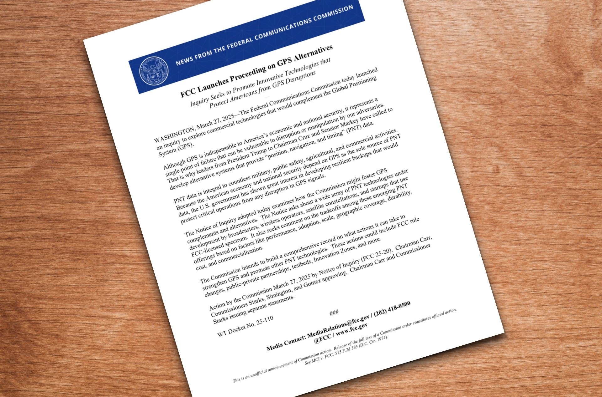
The Federal Communications Commission (FCC) has initiated a proceeding aimed at exploring new commercial technologies that could serve as alternatives to the Global Positioning System (GPS). This decision acknowledges the vulnerabilities of GPS, a system that is vital for the economic and national security of the United States.
Addressing GPS Vulnerabilities
On March 27, 2025, the FCC announced its inquiry into commercial alternatives to GPS, responding to concerns that the existing system is a “single point of failure” susceptible to intervals of disruption or manipulation by adversaries.
The Notice of Inquiry (FCC 25-20) investigates how the Commission can stimulate the development of GPS complements and alternatives, seeking comments on a variety of Position, Navigation, and Timing (PNT) technologies currently being developed by broadcasters, wireless operators, satellite constellations, and startups utilizing FCC-licensed spectrum. The agency is also soliciting feedback about the advantages and disadvantages associated with these emerging PNT solutions.
GPS: The Cornerstone of Modern Drone Technology
The FCC’s exploration into GPS alternatives is particularly relevant as GPS technology has become indispensable for several industries, notably in the realm of drone technology. Over the last 15 years, GPS has revolutionized drones, transforming them from complex machines that required advanced piloting skills into accessible tools for both professionals and everyday users.
GPS technology has redefined drone operation, enabling precise positional holding, automatic stabilization in breezy conditions, return-to-home safety features, waypoint navigation, and altitude locking. These functions have significantly simplified the operational complexity compared to traditional remote-controlled aircraft.
Prior to GPS introduction, achieving stable flight with a drone posed significant challenges. GPS’s precise positioning data allows drones to adjust motor speeds automatically to maintain their position, even as environmental conditions change, allowing pilots to focus entirely on camera operations rather than basic flying mechanics.
Frank Wang’s DJI: Leading the Charge in GPS Integration
Frank Wang, the founder of DJI, significantly influenced this transformation when he established the company in 2006 while studying at Hong Kong University of Science and Technology. The launch of the Phantom drone series in 2013 was a revolutionary moment that enhanced user-friendliness and accessibility in consumer drones.
Through the integration of GPS technology with intelligent flight controllers, DJI’s innovations dramatically broadened the market beyond just RC enthusiasts. This accessibility transitioned drones from predominantly military uses into the hands of consumers, effectively birthing the consumer drone market. By 2020, DJI commanded nearly 77% of the U.S. consumer drone market.

Current GPS Alternatives Under Development
While GPS remains fundamental to drone technology, several global alternatives are already available or in the works:
- GLONASS: Developed by Russia, this global navigation satellite system utilizes 24 satellites in medium circular orbit and is especially effective in higher latitudes where GPS signals struggle.
- BeiDou Navigation Satellite System (BDS): Operational since July 2020, this Chinese system offers worldwide coverage through 35 satellites in diverse orbits and includes a unique short message communication feature.
In addition to satellite-based options, emerging alternatives like Enhanced Long-Range Navigation (eLORAN) and SuperGPS are being developed. eLORAN is a terrestrial beacon system that is more resistant to jamming than GPS, while SuperGPS employs atomic clock time signals transmitted via fiber optics, achieving near 10 cm accuracy in urban areas.
For drones specifically, sensor-based alternatives such as Inertial Navigation Systems (INS), vision-based navigation utilizing cameras and algorithms, and LiDAR-based navigation methods to create detailed 3D environmental maps are gaining traction.
The Potential Effect on Drone Operations
The FCC asserts that PNT data is integral to a multitude of military, public safety, agricultural, and commercial operations. The drone industry, which relies heavily on GPS technology, could benefit from the development of robust alternatives to ensure functionality even in GPS-denied scenarios.
Scientific Systems has already demonstrated non-GPS, image-recognition based precision navigation software for flight operations ranging from 25,000 feet to just 200 feet. Many of these technologies are designed to work synergistically, crafting intricate and resilient navigation systems capable of functioning effectively in various conditions where GPS may falter.
The Road Ahead
The FCC aims to compile a thorough record of initiatives it can implement to strengthen GPS and boost other PNT technologies, which may involve rule changes, public-private partnerships, testing zones, and more.
The development of complementary and alternative navigation systems presents both challenges and opportunities for an industry greatly enriched by GPS technology. As drone capabilities continue to expand—from delivery services to critical infrastructure assessments—reliable positioning technology will remain a cornerstone for safe and dependable operations.


