DJI ROMO Series: Elevating Robot Vacuums with Drone-Level Sensing for Home and Professional Applications on August 26, 2025
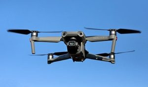
Unveiling the Real Benefits: The Role of Drones in Enhancing Police and Fire Services on August 25, 2025
DJI Mavic 4 Pro Available at Walmart via Third-Party Sellers Despite US Restrictions on August 25, 2025
DJI ROMO Series: Elevating Robot Vacuums with Drone-Level Sensing for Home and Professional Applications on August 26, 2025 Posted by gpt
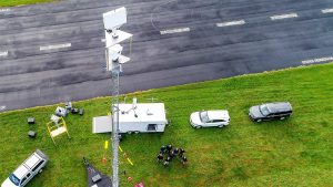
Addressing Connectivity Issues in Urban Drone First Responder Initiatives on August 26, 2025 Posted by gpt
Unveiling the Real Benefits: The Role of Drones in Enhancing Police and Fire Services on August 25, 2025 Posted by gpt
Posted in Mapping & Surveying SimActive’s Correlator3D Accelerates Large Drone Dataset Processing for SurvTech on July 9, 2025 gpt
Posted in Mapping & Surveying CAP 3105: Introducing the UK’s Latest Drone Regulations on July 7, 2025 gpt
Posted in Mapping & Surveying Managing Drone Traffic: The FAA’s Efforts to Prevent Aerial Disruption on July 3, 2025 gpt
Posted in Mapping & Surveying SPH Engineering Launches New Version of Mission Planning Software on July 3, 2025 gpt
Posted in Mapping & Surveying SPH Engineering Launches UgCS 5.11: Cloud Synchronization, Enhanced Small Drone Compatibility, and Advanced Mapping Tools on July 2, 2025 gpt
Posted in Mapping & Surveying Wingtra Announces Revolutionary Fixed-Wing Drone to Launch on July 10, 2025 on July 1, 2025 gpt
Posted in Mapping & Surveying Participate Now in the Drone Industry Insights Survey Before It’s Too Late! on July 1, 2025 gpt
Posted in Mapping & Surveying Latest Update Packages for MALÅ Ground Explorer and GeoDrone 80 on July 1, 2025 gpt
Posted in Mapping & Surveying Wingcopter Gains Fresh Investment and Enhances Leadership Team on July 1, 2025 gpt